
Dana Point, California – By the request of and in conjunction with California State Parks, Endurance Marine Exploration conducted a side scan and magnetometer survey of the Point Lobos State Natural Reserve (SNR) underwater park from October 16-18, 2017.
The goal of the survey was to locate cultural heritage artifacts or shipwrecks within the boundaries of the state park. The Point Lobos peninsula was used as a whaling station starting in the 1850s. At least one shipwreck, the Star of the West, wrecked in 1845 is known to lie within the park, but up until this time has remained undiscovered.
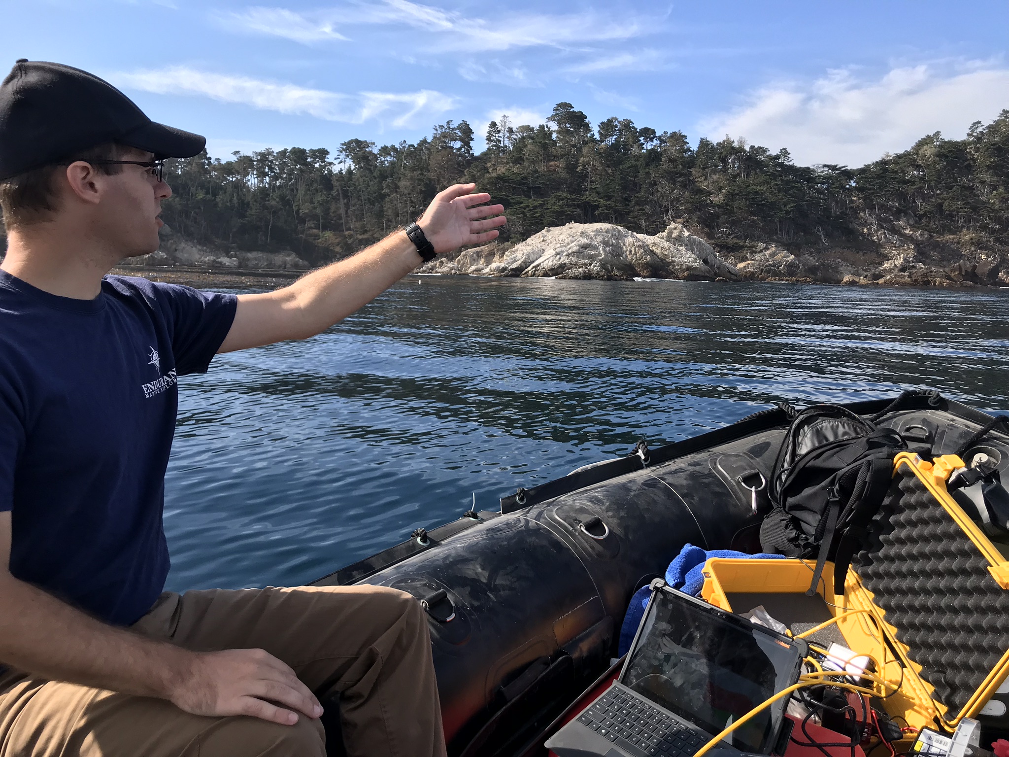 Endurance ME utilized its towed side scan sonar and newly modified magnetometer to collect remote sensing data and imagery in Whalers Cove, Bluefish Cove and from Pinnacle Point to Sea Lion Rocks. A State Parks Zodiac inflatable boat was used as the vessel of opportunity for mounting and rigging all of the instruments.
A post-processing report consisting of target imagery and location information was provided to State Parks at the conclusion of the remote sensing survey. Subsequent surveys conducted by State Parks archaeological divers are intended to identify and document any cultural items of interest.
